
Africa Must Ask: Why Did the United States Vote Against Correcting the Map?
The General Assembly voted 164 to one to draw the world closer to its true proportions. Only Washington objected — and the question Africa should put is not how the vote went, but why it was opposed at all.


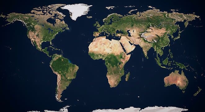
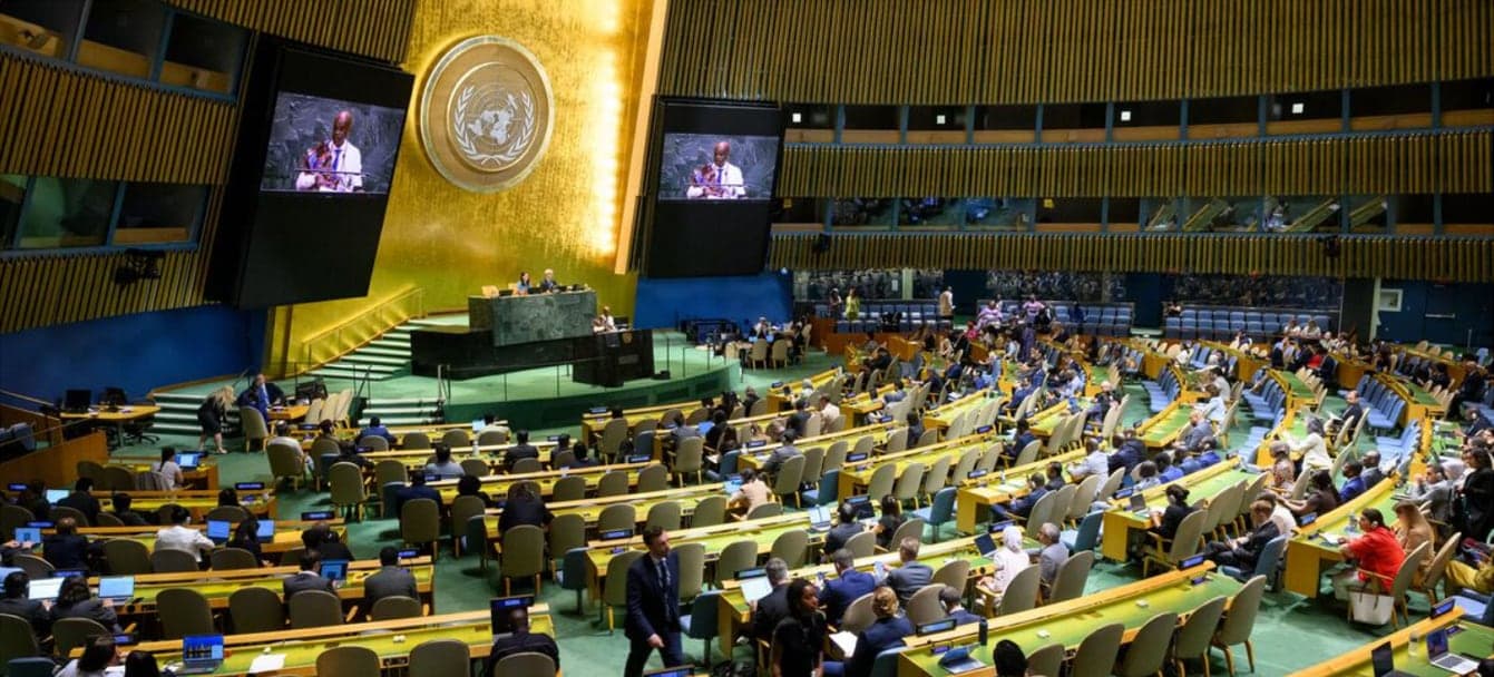
On 4 September 2026, the United Nations General Assembly (UNGA) made a historic decision. By 164 votes in favour, one against and six abstentions, the Assembly adopted the resolution entitled “Correct the Map: Rebalancing Global Cartographic Representation and Promoting Equitable Representation of the World’s Regions, Particularly Africa.” The United States was the only country to vote against it.
This Deserves a Serious Question From Africa: Why?
The resolution does not redraw Africa’s political borders, transfer territory or change the sovereignty of any African state. It concerns the way the world is visually represented. The Equal Earth projection presents the relative size of continents more accurately than the centuries-old Mercator projection, which makes Africa appear substantially smaller than it really is. Africa is approximately fourteen times the size of Greenland, although many familiar world maps visually suggest otherwise.
The United States explained its vote by characterising the initiative as an ideological project and questioning its relevance to what Washington considers the United Nations’ more important priorities. Africa should listen carefully to that explanation; but it should also ask a broader historical question.
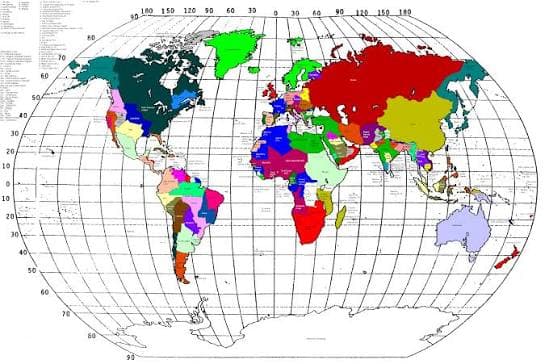
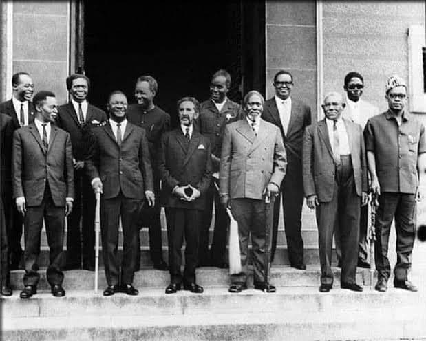
For centuries, maps were not merely geographical instruments. Maps were also instruments through which power, commerce, navigation and empire understood the world. At the Berlin Conference of 1884–1885, fourteen European participating states established rules that facilitated the subsequent European partition and colonial occupation of Africa, without African governments having a seat at the conference table. Africa has therefore lived with the consequences of decisions made about the continent without Africans.
The independence of African states changed political sovereignty, but it did not automatically eliminate economic dependency, unequal international structures, neocolonial relationships or external influence. The unfinished African project is therefore not simply about changing a map. It is about changing the conditions under which Africa sees itself and participates in the international system. That is why the United States’ solitary vote is politically significant, even though the resolution itself is non-binding and concerns cartographic representation rather than territorial sovereignty.
Africa should not interpret this vote as a declaration of hostility by the American people. Nor should Africa turn the issue into another confrontation between continents. The appropriate response is African self-confidence, historical understanding and peaceful diplomacy.
The Message From Africa Should Be Simple
Africa does not seek to make another continent smaller. Africa seeks to be represented at its true size. Africa does not seek revenge for colonial history. Africa seeks equality in the present and dignity in the future.
The world is becoming increasingly multipolar. Africa cannot remain merely an object of competition among external powers. With its people, natural resources, land, water, markets and enormous young population, Africa has the potential to become an important centre of the emerging international system.
The new map therefore represents more than cartography. It is an opportunity for Africa to ask itself a deeper question: if the world can finally correct the way it sees Africa on the map, when will Africa correct the political, economic and institutional conditions that prevent Africans from fully determining their own future? That is the real conversation Africa must now begin.